

ADS offers fleet pricing for Ergo Blue
- Business Air News
- Apr 5, 2023
- 2 min read
Having showcased its safety app to a wider audience recently, ADS restructured its pricing to accommodate discounts for corporate fleet operators.

Aeronautical Data Systems (ADS) has introduced new pricing to its Ergo Blue aviation safety mapping software to increase affordability for corporate fleet operations. This comes on the heels of the safety app’s resounding reception at the NBAA’s International Operators Conference in Austin, Texas in February.
“We offered attendees of our Deep Water Ditching seminar a free 30-day trial of the Ergo Blue app,” says CEO Jim Stabile, who presented the seminar with Deep Water Ditching author Dave Montgomery. “Operators jumped on the opportunity to see it in action, but with their trial periods coming to a close, a few reached out to see if we offer discounts for multiple aircraft.”
Since the Ergo Blue app already offered several pricing options to maximise affordability for single aircraft operators, Stabile explained it was an easy decision to offer a corporate fleet pricing structure.
“Our number one goal is to increase crew and passenger safety by getting this app on every flight deck,” he continues. “So we’ve always worked closely with our vendors to make Ergo Blue affordable. Our seminar at the NBAA conference got us in front of a new audience, those with corporate fleets, so it totally makes sense to offer these operations a pricing structure that meets their needs as well.”
The Ergo Blue fleet pricing options are $2,000 annually for Ergo Blue on three-10 devices, $3,000 annually for 11-20 devices and $4,000 for 21-30. Private operators can continue to use the app for $49 a week, $87 a month or $997 a year. Following the NBAA conference, ADS is also offering a 50 per cent discount on single annual subscriptions purchased during the current 30-day free trial period.
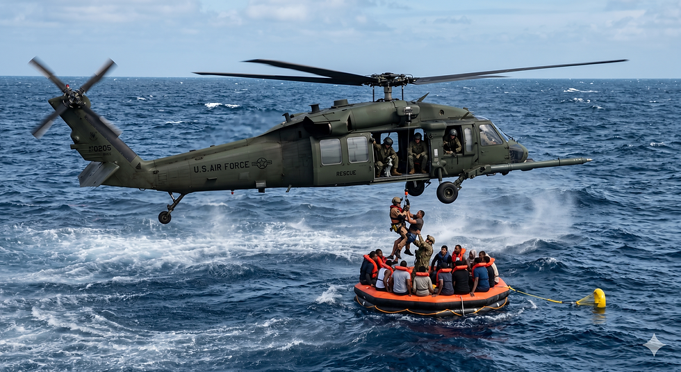
The Ergo software programmes share the ability to display airports and ships within range of a distressed aircraft. The pilot can view live-streaming AIS ship data, including each vessel’s speed, direction and country of origin. The programme will also transmit an automatic mayday distress call formatted to maritime protocols on a continuous two and a half minute loop, updating all pertinent aircraft location information at each interval. The pilot can select the most desirable vessels to ditch near, but all ships within VHF range (potentially 200-250 nautical miles depending on altitude) will receive this call on the maritime distress channel 16.
“This is equivalent to pulling a fire alarm in the middle of the ocean to alert any resource within hearing distance to come and help,” says Stabile. “Whether it’s a decompression event or an engine fire, emergencies put pilots in task-saturation environments that can seriously jeopardise the safety of all on board. The last thing you want during an emergency with a high cognitive workload is miscommunication. You want your situation clearly articulated in a common language understood by the receiving maritime asset with no conflicting or confusing information.”
This functionality enhances existing search and rescue resources and empowers the pilot to include another layer of safety by reducing time of rescue. Additionally, pilots can more safely ditch at night or in low visibility conditions when ships are not visible to the pilot.


Comments